


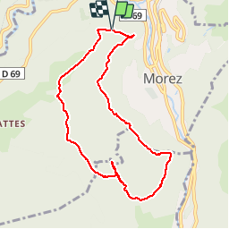

13,8 km | 18,4 km-effort


Benutzer


Kostenlosegpshiking-Anwendung
 SityTrail
IGN / Geografische Institute
SityTrail World
Die Welt öffnet sich für Sie
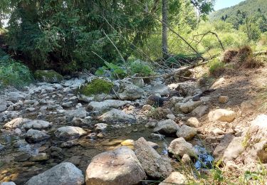
Tour Wandern von 8,7 km verfügbar auf Burgund und Freigrafschaft, Jura, Hauts de Bienne. Diese Tour wird von margotte vorgeschlagen.
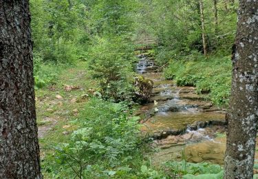
rando forêt et belvédères sur Morez et Morbier. Quelques montées bien raide et notamment pour aller au 3 bornes avec un sentier à ne pas louper, pour accéder à ces dernières, où les bornes sont absentes???

Schneeschuhwandern
Wandern
Wandern
Wandern
Wandern
Radtourismus
Radtourismus
Radtourismus
Wandern